On this page:
Good to know
Dogs allowed
No booking required
No fees payable
Fishing
Historical interest
About this trail
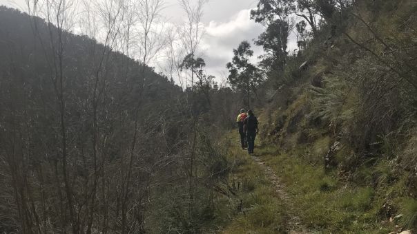
This advanced overnight trail ride follows the Jamieson River and surrounding forest. The 24.5km trail links Granny’s Flat camping reserve to Mitchell's Flat.
The bush along the riverbanks is characteristic of Australian dry foothill forests and valleys. Tree species include manna gum, broad-leaved peppermint, blue gum and stringybark.
Along the bridle track there are 2 sites of historical significance. Look out for the remnants of the Quicksilver mercury mine, and the dwellings of the Mitchell and Hoskins families at Mitchell’s Flat.
The Jamieson River is the centrepiece for this walk and provides a serene and spectacular setting. It's also renowned for its high-quality mountain fishing.
- This is a 24.5km trail through dry foothill forests and valleys

- The trail runs along Jamieson River

- The Cinnabar Hut is one of the historic mining sites along the trail
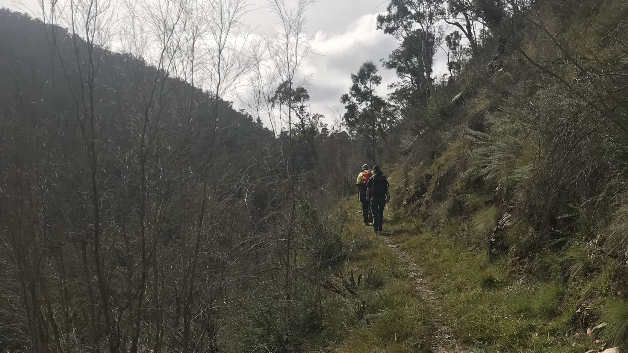
This is a 24.5km trail through dry foothill forests and valleys
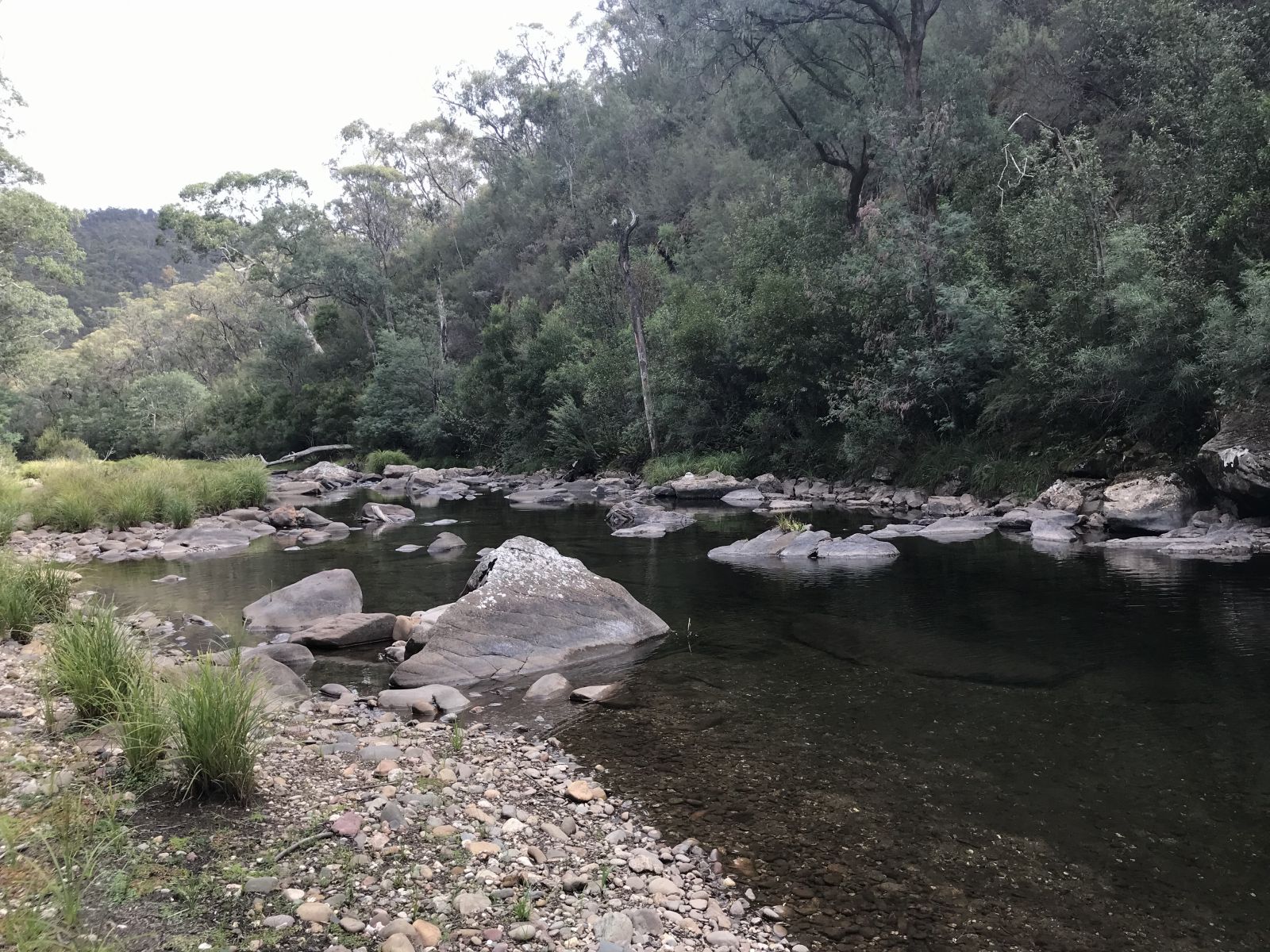
The trail runs along Jamieson River
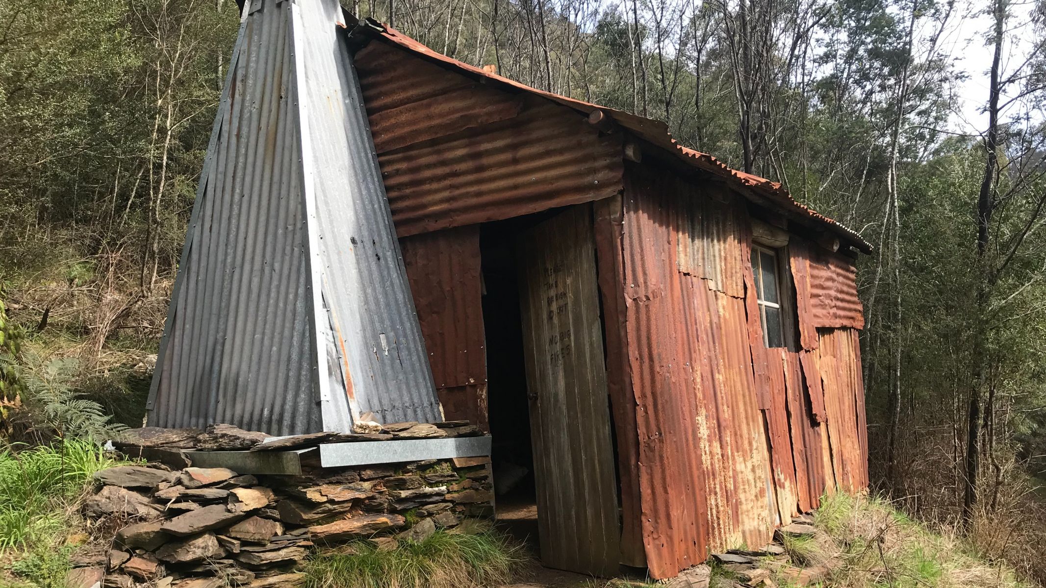
The Cinnabar Hut is one of the historic mining sites along the trail
How to get there
Page last updated: 31/07/24